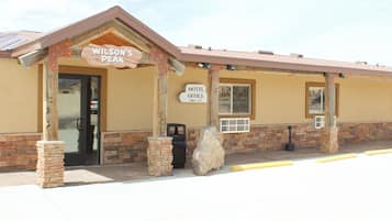
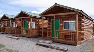
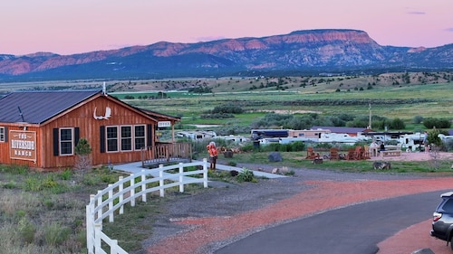
Aktivitäten in Alton
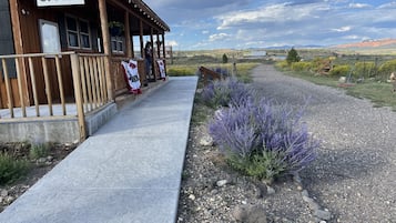
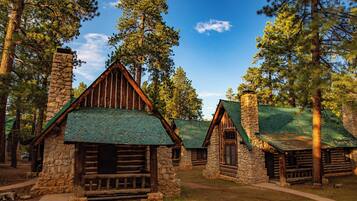
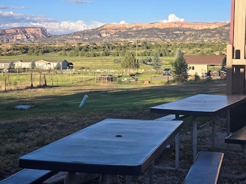
Alton, Utah, bietet Naturliebhabern einen reizvollen Rückzugsort mit aufregenden Abenteuern und atemberaubender Landschaft. Besucher können Aktivitäten wie Skifahren in den örtlichen Skigebieten, das Erkunden von Erholungsgebieten und Sightseeing-Touren genießen. Mit lokalen Attraktionen wie Golfresorts und verschiedenen Campingmöglichkeiten ist Alton perfekt für diejenigen, die sowohl Entspannung als auch Abenteuer in einer malerischen Umgebung suchen.
Einkaufen
Das nächste Einkaufserlebnis findest du auf den lokalen Märkten, wo du einzigartiges Kunsthandwerk und Souvenirs entdecken kannst. Wenn du eine Fahrt in Kauf nehmen möchtest, besuche das Cedar City Town Center, etwa 48,3 km entfernt, mit einer Vielzahl von Geschäften, darunter Modehändler und Geschenkboutiquen.
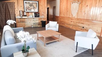
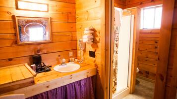
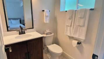
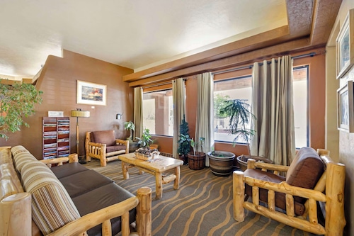
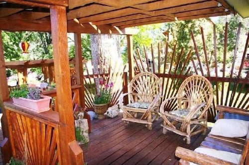
Erholung
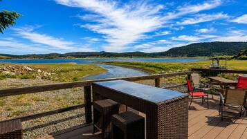
Das Alton Wellness Retreat bietet eine ruhige Umgebung und ganzheitliche Therapien, perfekt für Entspannung und Verjüngung. Genieße Yoga-Sitzungen, Meditation und Spa-Behandlungen inmitten atemberaubender Naturlandschaften. Für Outdoor-Spaß erkunde die nahegelegenen Wanderwege, Angelplätze und atemberaubenden Ausblicke, die eine erfüllende Mischung aus Wellness und Abenteuer gewährleisten.
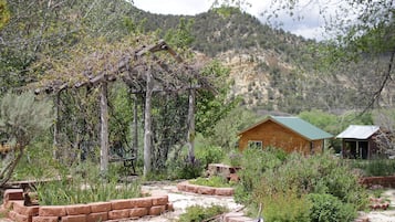
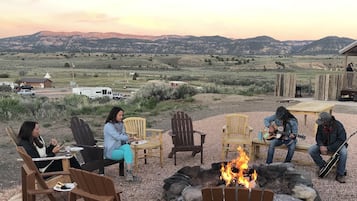
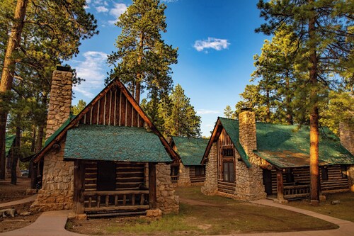
Abenteuer
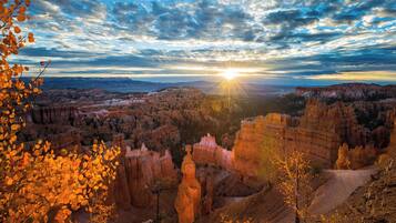
Erkunde die atemberaubenden Landschaften des Zion-Nationalparks, wo Wanderwege wie der Angels Landing atemberaubende Ausblicke und aufregende Höhen bieten. Für ein einzigartiges Erlebnis probiere Canyoning in den Slot Canyons aus, navigiere durch enge Passagen und lebendige Felsformationen, die dich in Staunen versetzen werden.
Nachtleben
In Alton bietet die lokale Pub-Szene eine charmante Atmosphäre mit Live-Musik und freundlichem Geplänkel. Die nahegelegenen Städte bieten malerische Bars und Restaurants, perfekt für einen entspannten Abend. Verpasse nicht die gelegentlichen Outdoor-Veranstaltungen, die lokale Talente unter den Sternen präsentieren.
*Entfernungen werden in gerader Linie gemessen; die tatsächlichen Fahrstrecken können je nach Route variieren.